 vesseltracker.com
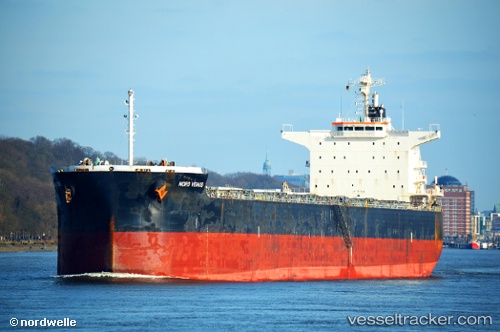
Vessel POWER GLOBE IMO: 9479319, MMSI: 538009524 Bulk Carrier
Live AIS position:
UTC. Near Cavadinesti),
updated 2025-03-27 19:21:34 UTC.
Find the position of the vessel POWER GLOBE on the map. The latter are known coordinates and path.
marine traffic ship tracker show on live map
The current position of vessel POWER GLOBE is 46.06102 lat / 27.88407 lng. Updated: 2025-03-27 19:21:34 UTCCurrently sailing under the flag of Marshall Islands
POWER GLOBE built in 2011 year
Deadweight:
80655 tDetails:
Last coordinates of the vessel:
2025-03-27 19:21:34 UTC, 46.06102, 27.88407, course: 355, speed: 0.4